Route card
Getting there: every route to Grey Eagle, measured in driving minutes
From the airport, downtown, Stampede Park and the mountains, with a Google Maps route for each and the full map at the bottom.
The short answer
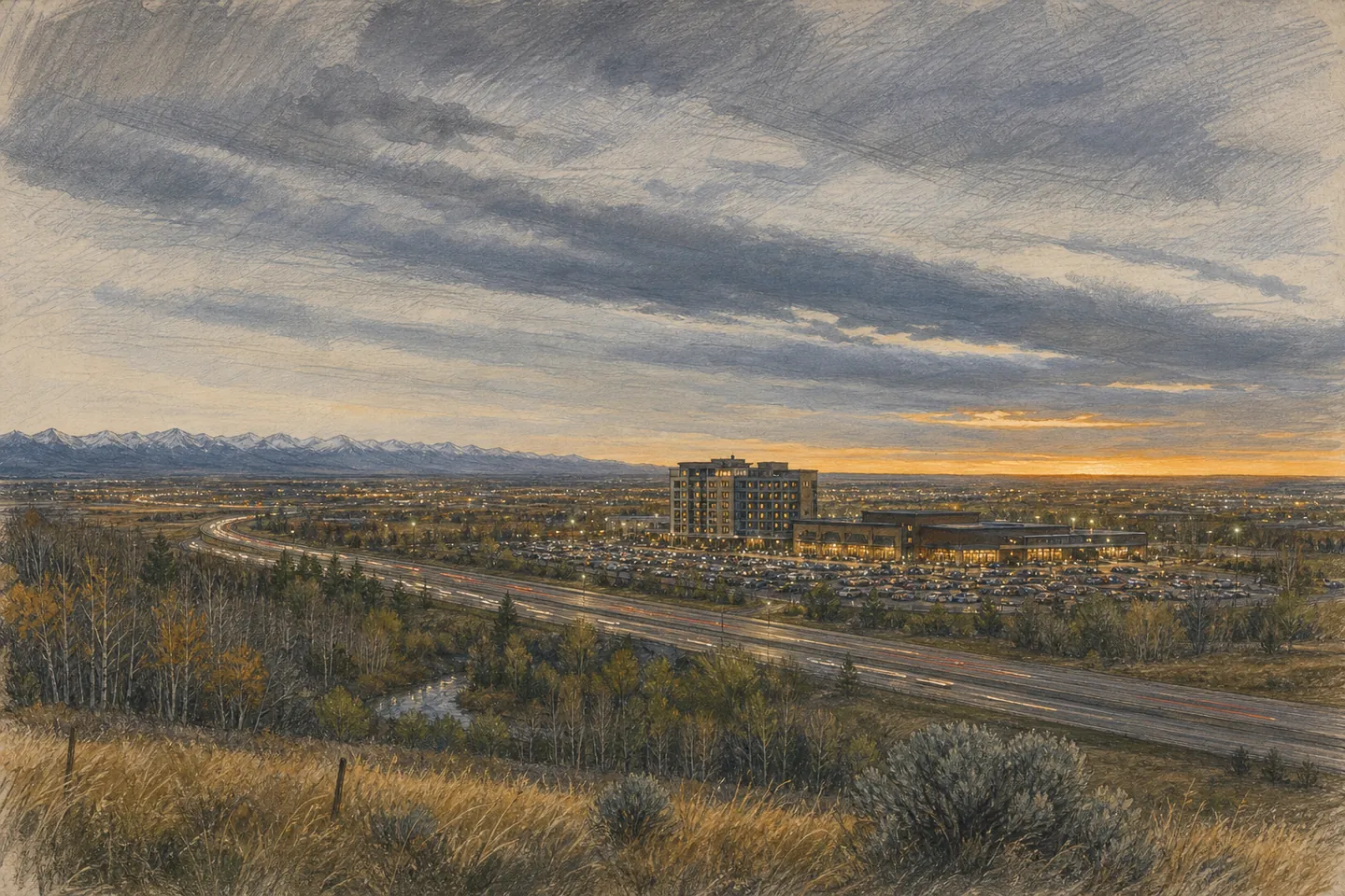
Drive, or take a taxi or rideshare. The resort is on Tsuutʼina Nation land at the south-west corner of Calgary, reached from Glenmore Trail SW and 37 Street SW or from Tsuutʼina Trail, the ring-road section across the Nation. Parking is free. The resort itself tells Event Centre audiences to come by taxi or rideshare on show nights, which is sound advice for anyone planning a drink with dinner.
- Casino
- 3777 Grey Eagle Drive, Tsuutʼina, AB T3E 3X8
- Hotel
- 3779 Grey Eagle Drive
- Event Centre
- 3775 Grey Eagle Drive
- Hotel phone
- (403) 719-8777 · toll free 1-844-719-8777
Drive times from the places people actually start
Google Maps driving estimates to the resort, read on Saturday evening, 14 November 2026, with light traffic. Rush hour, snow and Stampede week will all add minutes.
| From | Distance | Minutes | Route |
|---|---|---|---|
| Calgary International Airport (YYC) | 31.5 km | 26 | Route in Google Maps |
| Downtown Calgary (Calgary Tower) | 12.5 km | 18 | Route in Google Maps |
| Stampede Park (BMO Centre) | 11.9 km | 17 | Route in Google Maps |
| Canmore | 102 km | 62 | Route in Google Maps |
| Banff | 128 km | 75 | Route in Google Maps |
| Edmonton (City Hall) | 312 km | 186 | Route in Google Maps |
From the airport
YYC sits on the north-east side of the city and the resort on the south-west, so you cross Calgary corner to corner. Google Maps makes it 31.5 km and about 26 minutes on a quiet evening. A taxi or rideshare is the simple option for a short stay; a rental car makes more sense if the mountains are on the plan. The hotel lists a shuttle service to select locations; ask the front desk whether the airport is one of them on your dates, because the resort does not publish the list. Driving route from YYC
From downtown
About 18 minutes by car from the Calgary Tower on Google Maps. On a show night that is the argument for staying over: friends who live downtown can come out for dinner and the show and be home before the parking lots empty. Driving route from downtown.
By public transit
We could not confirm a Calgary Transit stop at the resort on any official page, so we will not invent a bus number. Check the Calgary Transit trip planner for your date and time, or try Google's transit routing below and look closely at the final walk. In winter, a long walk along an arterial road at night is not a plan we would recommend. Transit routing from downtown in Google Maps
From the mountains, or on the way to them
The resort is on the right side of the city for the Trans-Canada west. Google Maps puts Canmore at about 62 minutes and Banff town at about 75; Travel Alberta gives about one hour to the national park, which starts well before the town. Kananaskis Village is about 64 minutes, though the edge of Kananaskis Country is closer. Route from Banff · Route from Canmore
Parking and show nights
Free and secure parking, per the hotel's amenities list. On Event Centre nights, an upper overflow lot north of the hotel and another lot south of it open, and parking attendants direct arrivals. Allow extra time; 2,511 seated guests do not arrive one at a time.
The map
Grey Eagle Resort & Casino, 3777 Grey Eagle Drive, Tsuutʼina, AB T3E 3X8 (hotel at 3779). Open in Google Maps · Directions
The map is provided by Google; loading it lets Google see your IP address and may set cookies (see the privacy policy).